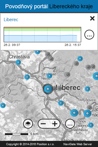
Liberec region, department of Environment and Agriculture, prepared this mobile application to help flood protection in the region. The application provides information on current water levels in rivers and current clashes in the district. It contains data from the watchers profile category A, B and C, and data from rain gauges categories 1 and 2. Shows the history of water levels and precipitation in the form of graphs.It also displays the current flood status information from the portal and flood chat Flood Commission. The application also includes support for the regime of exercise.The condition for full functionality of the application is a data connection.The application also allows you to:- searching for addresses and parcel numbers in the region,- display the current traffic situation in the region,- display additional information layers of the Geoportal Liberec Region (floodplains, flood commissions, risk objects, etc.).Current data also are displayed in the desktop web application at:http://geoportal.kraj-lbc.cz/povodnova-mapa
 Povodňový portál Lbc kraje